LiDAR data info
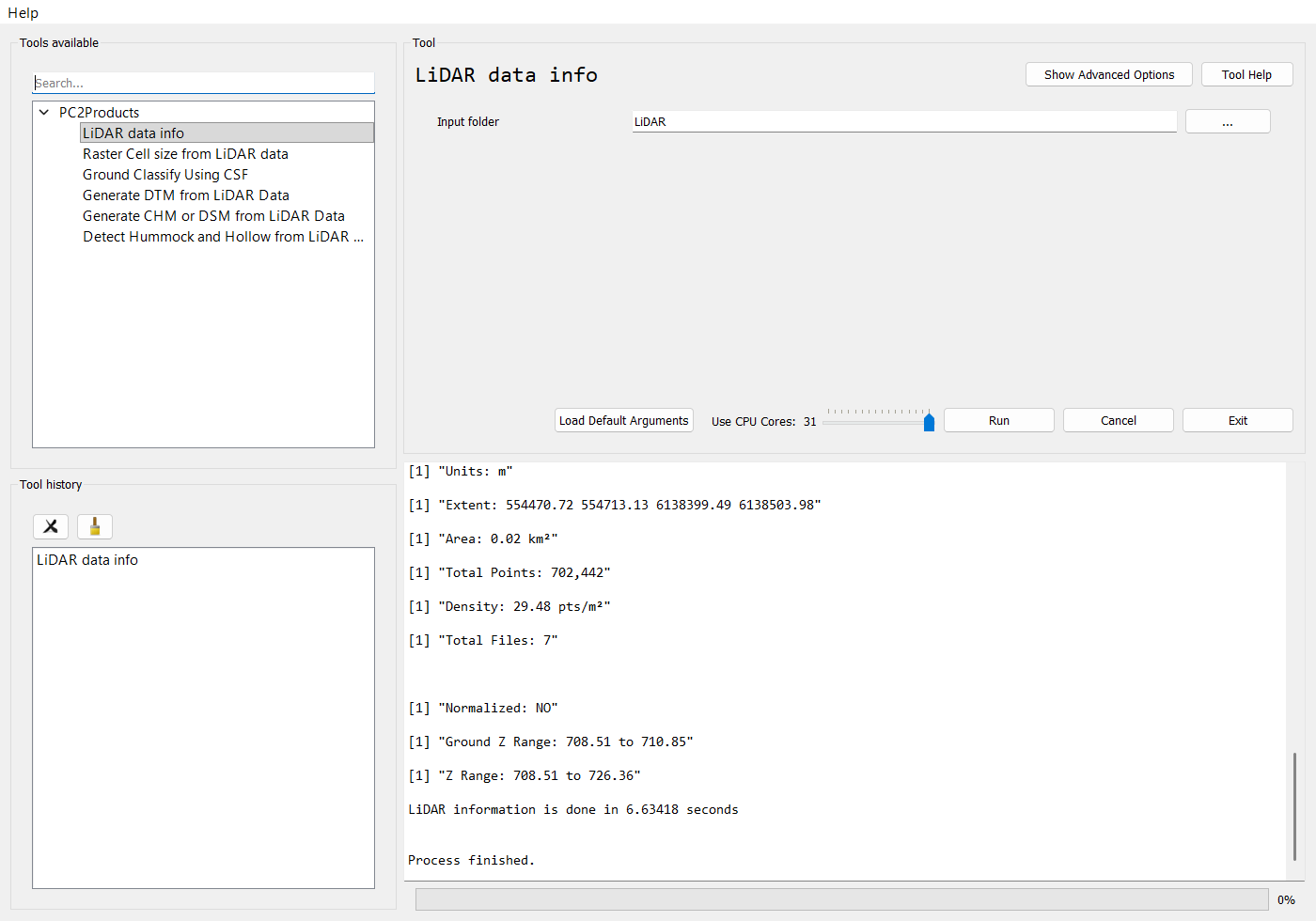
Prints a summary of the LiDAR dataset to the console. It doesn't write any files.
| Item | How it's calculated |
|---|---|
| Data format | LAS version (Major.Minor) of the first file |
| CRS / EPSG / Units | sf::st_crs of the catalog. Reports Unknown if the CRS is missing. |
| Extent | min X, max X, min Y, max Y across all tiles |
| Area | Catalog area in km² |
| Total Points | Sum of the point records in all tiles |
| Density | Total points / area, in pts/m² |
| Total Files | Number of LAS/LAZ files |
| Normalized | YES if the mean |Z| of the ground points is below 1 (first file only) |
| Ground Z Range / Z Range | Min and max Z of the ground points and of all points (first file only) |
| Parameter | Type | Required | Description |
|---|---|---|---|
in_las_folder |
directory | Yes | Folder containing the input LAS/LAZ tiles. |
processes |
int | No | Requested number of parallel workers. |
from beratools.tools.rpy_las_info import rpy_las_info

rpy_las_info(in_las_folder="tests/data/LiDAR")
Command line
bt las_info   # show the parameters
bt las_info --in_las_folder <las_dir>